Elmar
Showing 1–12 of 40 results
-

De mooiste netwerkwandelingen: Hart van Brabant
€16.95 Select options This product has multiple variants. The options may be chosen on the product page -
Elmar De Mooiste Netwerkwandelen: Delfland en Haaglanden
€16.95 Select options This product has multiple variants. The options may be chosen on the product page -

Elmar De mooiste Netwerkwandelingen: Groene Hart
€16.95 Select options This product has multiple variants. The options may be chosen on the product page -

Elmar De mooiste netwerkwandelingen: Hart van Limburg
€16.95 Select options This product has multiple variants. The options may be chosen on the product page -

Elmar De mooiste netwerkwandelingen: Kennemerland
€16.95 Select options This product has multiple variants. The options may be chosen on the product page -

Elmar De mooiste netwerkwandelingen: Twente
€16.95 Select options This product has multiple variants. The options may be chosen on the product page -

Elmar De mooiste netwerkwandelingen: Waterland & Zaanstreek
€16.95 Select options This product has multiple variants. The options may be chosen on the product page -

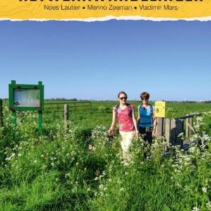
Elmar de mooiste netwerkwandelingen: Zeeland
€16.95 Select options This product has multiple variants. The options may be chosen on the product page -
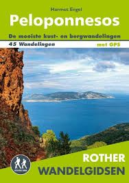
Elmar Peloponnesos
€16.95 Select options This product has multiple variants. The options may be chosen on the product page -

Elmar Reishandboek Tsjechië
€18.95 Select options This product has multiple variants. The options may be chosen on the product page -
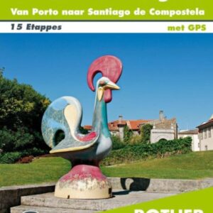
Elmar Rother Wandelgids Caminho Portugues
€19.95 Select options This product has multiple variants. The options may be chosen on the product page -
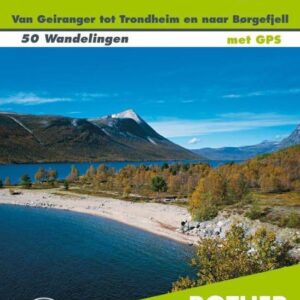
Elmar Rother wandelgids Centraal-Noorwegen
€18.95 Read more